Verify dirt levels with drone LiDAR
Wednesday, March 23, 2022

|
Richard Harris |
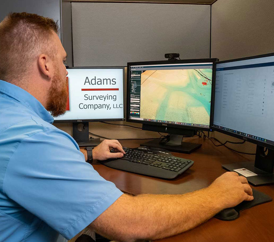
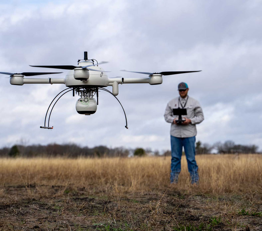
Adams Surveying from Richardson Texas is increasing their workload by using drone LiDar to verify dirt levels. Drone LiDAR efficiently provides detailed preconstruction data and verification planning, allowing them to keep their customer's projects on time and on budget.
Monitoring pre and post-development projects from start to finish is key to ensuring the accuracy and success of the overall design plan. Adams Surveying, out of Richardson Texas, has increased its workload and bottom line, by using drone LiDAR to quickly gather data for project analysis and volume measurements. See how their drone surveying services help keep their customer’s projects on time and on a budget in these all-new episodes of Down to Earth, Above the Dirt.
How to Verify Dirt Levels with Drone LiDAR
"Down to Earth" is a documentary-style reality series that shows how real surveyors collect data and turn it into real deliverables, despite challenging conditions, hidden dangers, and inclement weather.
In this 1st episode, Josh Adams, SIT, an SUAS pilot for Adams Surveying, explains how the company is using drone surveying equipment for site verification. "We’re using the drone to verify the roads, pads, and lots," Adams explains. "We can check the elevations to see how the contractors did versus the engineering plans, to verify that everything was built the way they wanted it to be."
Adam Gribben, a Survey Tech and SUAS Pilot, assists Josh with the planning and flight missions. The first project is Spradley Farms, an 800-acre undeveloped site where the team will perform a pre-development flight to provide the necessary data for the customer, Graham Associates, Inc., to create their engineering plans. According to Gribben, “The way the Microdrones LiDAR product help us meet our goals is when we come across open fields where photogrammetry is not going to be able to cut through the canopy or tall grass."

Drone LiDAR efficiently provides detailed preconstruction data and verification planning
In the 2nd episode, the team heads to the Karis project in Crowley, Texas, a 900-acre active project that’s already underway, to assess progress and calculate dirt levels. Joining the team is the owner of Adams Surveying, Phillip Adams, RPLS. "Deploying a system from Microdrones over the site really provides us a quick picture of what’s going on," said Adams. "Using the tools available to us, we can provide survey-grade accuracy to the data we’re providing the client."
This episode also introduces the viewer to the customer, Graham Associates, Inc., where project manager, Scott Koehler explains how the data is very useful. "Using the drone services from Adams Surveying allows us to collect the data in the field a lot faster than traditional methods," he explains. "The purpose of the most recent flight was to take a snapshot of where the dirt contractor left the site. You can see how all the pads are created, the side yard swales are cut properly, and that the roads are all much lower than the pads by design."
The series concludes with Episode 3 where Gribben processes and visualizes the data from both projects, to create the final deliverables for Graham Associates, Inc. "You’ve got your volumes of dirt measured and you want to know how the project is progressing," said Gribben. "They say a picture is worth a thousand words. Well, add the picture plus a couple billion lidar points and it’s worth even more. Just that resolution and data you can’t really get without drone lidar."

Become a subscriber of App Developer Magazine for just $5.99 a month and take advantage of all these perks.
MEMBERS GET ACCESS TO
- - Exclusive content from leaders in the industry
- - Q&A articles from industry leaders
- - Tips and tricks from the most successful developers weekly
- - Monthly issues, including all 90+ back-issues since 2012
- - Event discounts and early-bird signups
- - Gain insight from top achievers in the app store
- - Learn what tools to use, what SDK's to use, and more
Subscribe here


