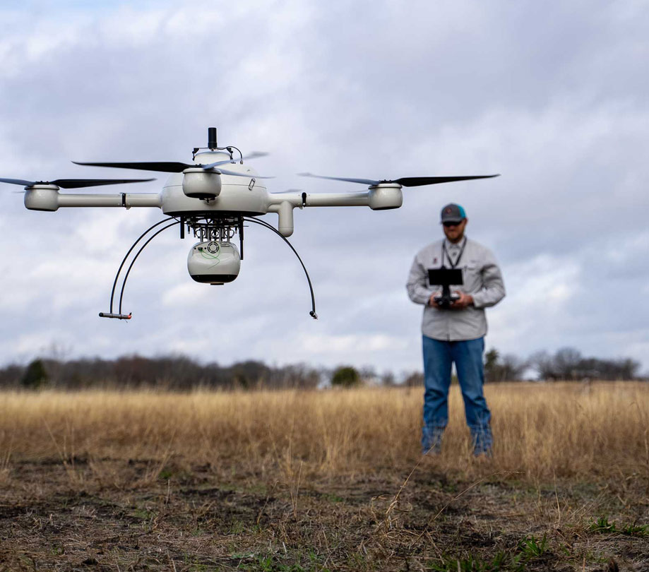
verify dirt levels with drone lidar
verify dirt levels with drone lidar news search results
Developer news items we found relating to verify dirt levels with drone lidar
1 results
Verify dirt levels with drone LiDAR
Wednesday, March 23, 2022 by Richard Harris
Monitoring pre and post-development projects from start to finish is key to ensuring the accuracy and success of the overall design plan. Adams Surveying, out of Richardson Texas, has increased its workload and bottom line, by using drone LiDAR to quickly gather data for project analysis and volume measurements. See how their drone surveying services help keep their cus...
Featured Stories
Stay Updated
Sign up for our newsletter for the headlines delivered to youSuccessFull SignUp


