iOS
Apps from maps using location intelligence is a whole new world
Tuesday, March 26, 2019

|
Richard Harris |

A conversation with Esri about how developers can use the power of location intelligence provided through their new developer program, that pushes the envelope of what's possible in today's mapping software.
Technically a map is defined as a diagrammatic representation of an area of land or sea showing physical features, cities, roads, etc. As soon as we view a map, we inherently start turning it into information by analyzing its contents and finding patterns, assessing trends, and making decisions about what we are seeing.
Creating apps and software that use map information is nothing new. Platform choices to build on range from Google Maps, native Apple maps, TomTom maps, Mapbox, and many others. What separates each platform apart from one another is their ability to display different times of information over the map. You know - markers, areas of crime, speed traps, routes, etc.
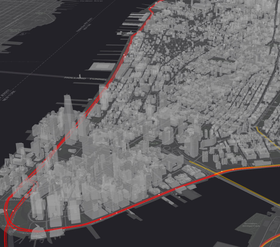
Recently, Esri announced its new developer program which enables app developers to create interactive, world-changing maps that are easy to interpret. Using Esri's new maps platform, developers have already created mapping apps that display things such as, Interactive Homicide Stats by Distance and Type, Filter Hurricane Data by Shape, even New York Building Footprints.
Max Payson is a solutions engineer at Esri and he spoke with ADM about how the new program is making it easier for developers to transform data into eye-opening visuals, using what they call location intelligence, and how you can get on board!
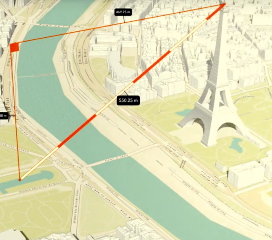
ADM: Why is location intelligence important for developers to consider?
Payson: Location intelligence is a term that describes how we understand patterns and relationships between all types of data, in particular, geospatial data. Sometimes, it’s applied to offer spatial context that helps users understand what’s nearby. Other times, it’s applied to join disparate data sources and make predictions that affect the user’s bottom-line.
I see location intelligence as both a common request and compelling opportunity for developers to explore. First, users more and more seek to understand answers in the context of location. Maps have proliferated as UI/UX components in applications and they’re a fundamental tool, even common language, for location intelligence. Yelp, for example, now defaults to a map view to help users answer, “What’s near me?”
Second, in working with emerging tech companies, we’ve also observed tremendous opportunity. The volume and variety of data is exploding through mobile devices, sales transactions, IoT feeds and more. These all can have a spatial component. Location intelligence helps us integrate, understand and predict against these data feeds to build better experiences and derive new insights for our users.
ADM: How does incorporating location intelligence into applications improve developers’ efforts?
Payson: Location intelligent systems can help developers and improve the user experiences they’re creating. For users, maps provide an accessible, intuitive interface that can add value to the UX. And, applying location intelligence can result in informative visualizations that showcase the full story hidden within geospatial data to help users answer their questions.
For the developer, location intelligence provides a framework for managing and working with geospatial data. This includes how to abstract different data sources, overlay them into a common interface, and tease out new information through spatial relationships and advanced algorithms. Esri fits in by building tools for developers to implement this framework at scale.
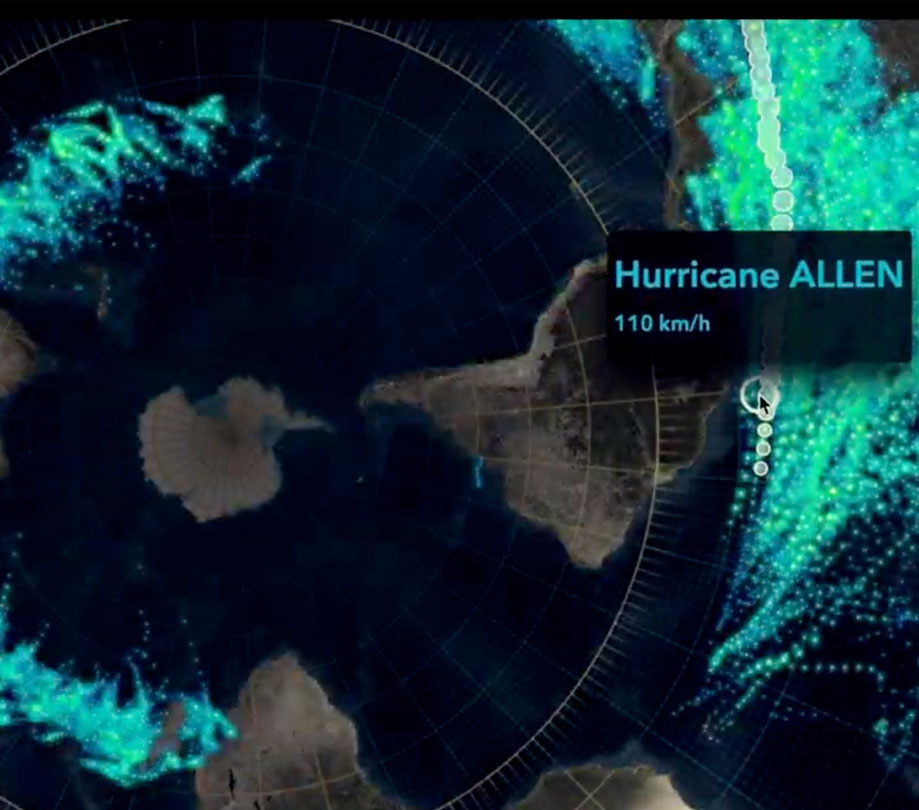
ADM: You recently launched a developer platform, where do you see a market opportunity for location intelligence in the developer space?
Payson: There’s an opportunity for developers to incorporate location intelligence both within technology trends as well as in delivering vertical solutions. We believe we can help developers realize these opportunities by providing tools that bring location intelligence into their applications.
With AI, for example, geospatial data encodes valuable features that can be joined, extracted, and engineered to train models. Location intelligence then provides a framework to understand model outputs and take action. Similarly, location intelligence can be applied against geospatial data persisted in a blockchain to deliver transparent, decentralized audits. Drones, autonomous vehicles, IoT, indoor positioning, digital twins, all collect or rely on location information.
These emerging technologies can be stacked together by developers to create valuable solutions. “Last-mile” companies can use advanced analytics to optimize their fleets by understanding emerging spatial trends in demand. In countries where land management systems are fragile, blockchain based-solutions could help solidify and communicate ownership. This is just a small sample of exciting opportunities to infuse location intelligence, and I think we have a lot to offer organizations tackling these problems.
ADM: Who needs a geospatial solution? What industries benefit?
Payson: Every industry can benefit from geospatial solutions! Maybe that’s a slight hyperbole, but information connected to location is everywhere, and information precedes solutions. Geospatial solutions can be developed to help users discover the best restaurant, get to a destination, educate a community, understand customers, manage supply chains, mitigate natural disasters, allocate resources, and more. There are so many opportunities it’s easy to ramble. I’d encourage developers to look around and see where the location is a consideration or an opportunity.
In some cases, location is a critical component for the industry. A local government that maintains tax assessment data, for example, has workflows rooted in location. In other cases, location is one dimension that can reveal unique insights. E-commerce sales data, for example, often contain information about the user’s zip code. This sales data can be enriched with demographic data, joined by location, to profile existing market segments and inform target market decisions.
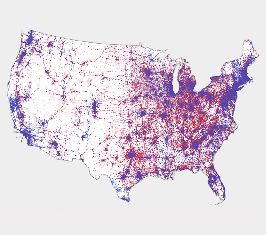
ADM: Can you share some examples of developers and projects that use these tools to revolutionize their space?
Payson:
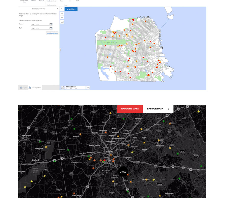
- The San Francisco Public Utilities Commission leverages Web GIS technology to improve operational efficiency by streamlining reporting on maintenance and construction projects of its 100-year-old water and sewer system.
- Spire Global, an emerging satellite data and analytics company, collects data from the third largest satellite constellation in the world. They are applying location intelligence to help users track illegal fishing, monitor global aircraft, and marine traffic, and monitor and predict severe weather.
- The Chesapeake Conservancy has developed a web application that lets users create, compare, and download prioritization maps to identify restoration and conservation opportunities for species habitat in the northeast United States.
ADM: What are your thoughts on open-data sharing? How does this offering help support it?
Payson: Open-data sharing is awesome. Personally, I love the idea of building off of each other’s work. We have a vision where location intelligent systems are interconnected and accessible in order to drive collaboration and progress, and open data is foundational to this vision.
Developers can use Esri’s tools to generate open data. And, developers can use our open source software to serve data, or our Geospatial cloud to host, manage, and serve data, so that it’s accessible to the web. The resulting services can then be queried through open APIs or combined to define new relationships. We even have a catalog where users can register and discover these services—resulting in an indexed repository of global geographic information. Right now, there are over 100,000 datasets in this catalog, which is amazing.
ADM: What comes next for location intelligence and how can developers get ahead and incorporate that into their work?
Payson: Looking forward, the underlying technologies will evolve. Higher volume data, better data collection techniques, new predictive models, more powerful hardware, advanced visualization tools, will all coalesce in applications that help users derive transformative insights. With the emergence of the geospatial Cloud, location intelligence will also become increasingly pervasive, informative, and educational, enabling a wide variety of applications. So, I’d encourage developers to check out our tools and see how they can start incorporating location intelligence!
About Max Payson
Max Payson is a senior solution engineer at Esri, the global leader in location intelligence. At Esri, he collaborates with startups and developers to help them build next-generation location intelligent products. He joined the company in 2016 after graduating from Yale with a BS in chemical engineering.

Become a subscriber of App Developer Magazine for just $5.99 a month and take advantage of all these perks.
MEMBERS GET ACCESS TO
- - Exclusive content from leaders in the industry
- - Q&A articles from industry leaders
- - Tips and tricks from the most successful developers weekly
- - Monthly issues, including all 90+ back-issues since 2012
- - Event discounts and early-bird signups
- - Gain insight from top achievers in the app store
- - Learn what tools to use, what SDK's to use, and more
Subscribe here




Comments