Mobile Tech
AirMap secures $26M to become the air traffic controller for drones
Saturday, February 25, 2017

|
Richard Harris |
AirMap drone air flight safety controller mapping announces $26 million Series B funding round.
AirMap announced a $26 million Series B funding round led by Microsoft Ventures, with additional participation from Airbus Ventures, Qualcomm Ventures (the investment arm of Qualcomm Incorporated), Rakuten, Sony, Yuneec, and existing investors General Catalyst and Lux Capital. The new investment brings their total funding to more than $43 million.
The Series B funding round will bring AirMap’s airspace management platform and Unmanned aircraft Traffic Management (UTM) solutions to new markets worldwide, as they opens offices in Berlin, Germany and at the NASA Ames Research Center in Mountain View, California.
“The strategic partners participating in our Series B financing reflect the diversity of the drone ecosystem and the potential of drones to benefit every sector of our economy,” said AirMap CEO Ben Marcus, who also serves as the industry co-chair for the FAA/industry Unmanned Aircraft Safety Team. “Very soon, millions of drones will fly billions of flights. This is a future that depends on safe, autonomous drone operations at scale. AirMap’s technology will make this future possible, allowing the drones of today, and the autonomous drones of tomorrow, to take flight.”
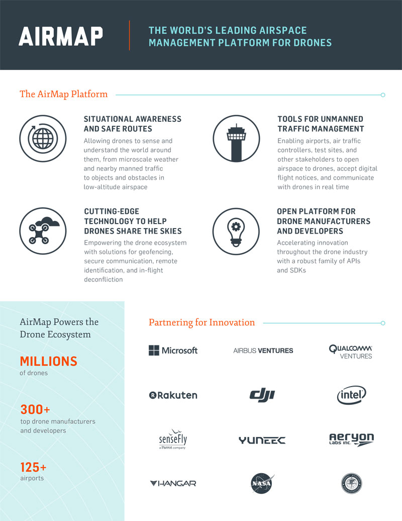
Millions of drones and hundreds of drone manufacturers and developers rely on the platform to access and share the data they need to fly safely in low-altitude airspace. AirMap’s data and services are embedded into drones, ground control stations, and flight apps by many drone makers, such as DJI, Intel, senseFly, 3DR, and Aeryon Labs - expanding the reach of their technology and solutions throughout the entire drone ecosystem.
Their regulatory and technological framework will facilitate data exchange and air traffic control for drones, and eventually, flying cars. More than 125 airports use AirMap’s airspace management dashboard to open surrounding airspace to drones, view past and current drone flights, accept digital flight notices, and communicate with drone operators. The platform also provides solutions for geofencing, remote identification of drones, and sophisticated in-flight deconfliction.

The Series B funding round will bring AirMap’s airspace management platform and Unmanned aircraft Traffic Management (UTM) solutions to new markets worldwide, as they opens offices in Berlin, Germany and at the NASA Ames Research Center in Mountain View, California.
“The strategic partners participating in our Series B financing reflect the diversity of the drone ecosystem and the potential of drones to benefit every sector of our economy,” said AirMap CEO Ben Marcus, who also serves as the industry co-chair for the FAA/industry Unmanned Aircraft Safety Team. “Very soon, millions of drones will fly billions of flights. This is a future that depends on safe, autonomous drone operations at scale. AirMap’s technology will make this future possible, allowing the drones of today, and the autonomous drones of tomorrow, to take flight.”
Millions of drones and hundreds of drone manufacturers and developers rely on the platform to access and share the data they need to fly safely in low-altitude airspace. AirMap’s data and services are embedded into drones, ground control stations, and flight apps by many drone makers, such as DJI, Intel, senseFly, 3DR, and Aeryon Labs - expanding the reach of their technology and solutions throughout the entire drone ecosystem.
Their regulatory and technological framework will facilitate data exchange and air traffic control for drones, and eventually, flying cars. More than 125 airports use AirMap’s airspace management dashboard to open surrounding airspace to drones, view past and current drone flights, accept digital flight notices, and communicate with drone operators. The platform also provides solutions for geofencing, remote identification of drones, and sophisticated in-flight deconfliction.

Become a subscriber of App Developer Magazine for just $5.99 a month and take advantage of all these perks.
MEMBERS GET ACCESS TO
- - Exclusive content from leaders in the industry
- - Q&A articles from industry leaders
- - Tips and tricks from the most successful developers weekly
- - Monthly issues, including all 90+ back-issues since 2012
- - Event discounts and early-bird signups
- - Gain insight from top achievers in the app store
- - Learn what tools to use, what SDK's to use, and more
Subscribe here


