geospatial data
geospatial data news search results
Developer news items we found relating to geospatial data
6 results
Geospatial mapping system TrueView GO lands from GeoCue
Wednesday, August 7, 2024 by Freeman Lightner
GeoCue, a provider of geospatial solutions, recently announced the addition of the TrueView GO to its innovative product lineup, which includes TrueView drone and mobile mapping systems as well as LP360 3D point cloud software. This latest release marks GeoCue's entry into the handheld mapping arena, setting a new standard for portable, high-precision geos...

Kinetica as a service is now available on Azure
Tuesday, October 26, 2021 by Austin Harris
Kinetica, the database for time and space, is now easily accessible as a service on Microsoft Azure, giving organizations real-time contextual analysis and location intelligence on massive data sets with reduced computing infrastructure and lower costs. Organizations across industries rely on Kinetica's vectorized database to analyze data from sensors and ma...

Elastic Stack 7.3 brings maps and more
Monday, August 5, 2019 by Austin Harris
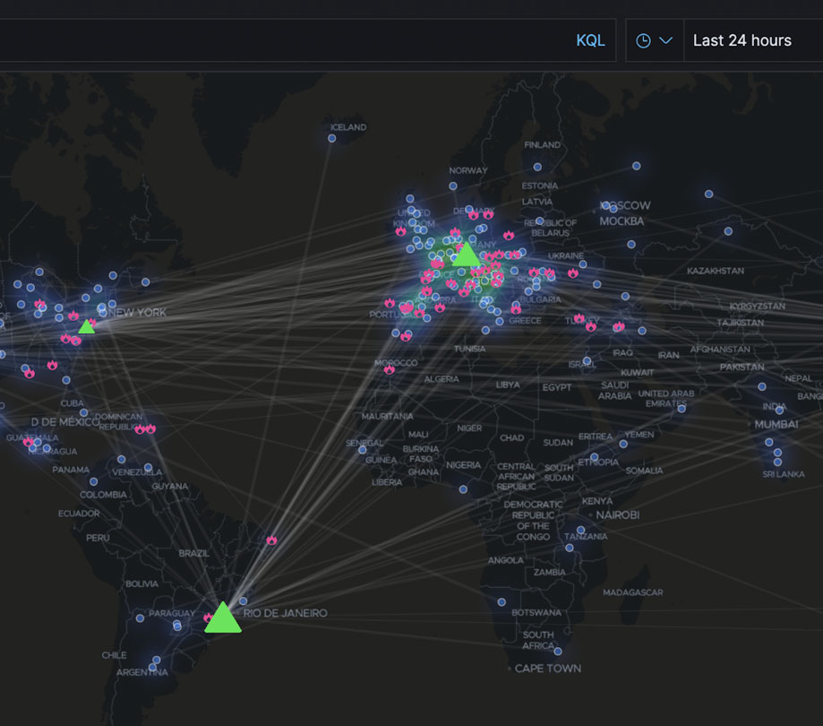
Elastic has delivered Elastic Stack 7.3, which includes some very cool new features such as data frames, anomaly detection, elastic maps, and more. Check out all the highlights of the latest release below. Elastic Stack 7.3 highlights Data frames: a new feature that allows users to pivot their Elasticsearch data on the fly to create live entity-centric in...

How inmemory computing is driving digital transformation technologies
Monday, August 7, 2017 by Nikita Ivanov
It increasingly seems that every business wants to become a data-driven software company. The success of Airbnb, Alibaba, Netflix and many others has CEOs, CIOs, and CDOs jumping on the digital transformation bandwagon and imagining all the possible ways they can leverage their intellectual property and unique data to deliver a service instead of just shipping products....

Boundless: The first complete supported open GIS platform
Friday, November 18, 2016 by Richard Harris
Eighty percent of data in the world today includes a location component. However, because of the issues associated with proprietary GIS solutions, many organizations are unable to tap into this data and gain valuable insights. Boundless is the first open source GIS solution of its kind, delivering the ultimate open GIS ecosystem, comprised of a unique combination...

MarkLogic 9 NoSQL Database Released in Preview
Friday, May 13, 2016 by Richard Harris
MarkLogic has released MarkLogic 9 in preview, offering updates to the NoSQL database for integrating data from silos. MarkLogic is optimized for structured and unstructured data providing the ability allowing to store, manage, query and search across JSON, XML, RDF, geospatial data, text, and large binaries.New features in MarkLogic 9 include:Data Integration: MarkLogi...
Featured Stories

Stay Updated
Sign up for our newsletter for the headlines delivered to youSuccessFull SignUp

|


